Wedding Trail Map – Custom Cartography in QGIS
Map Pages
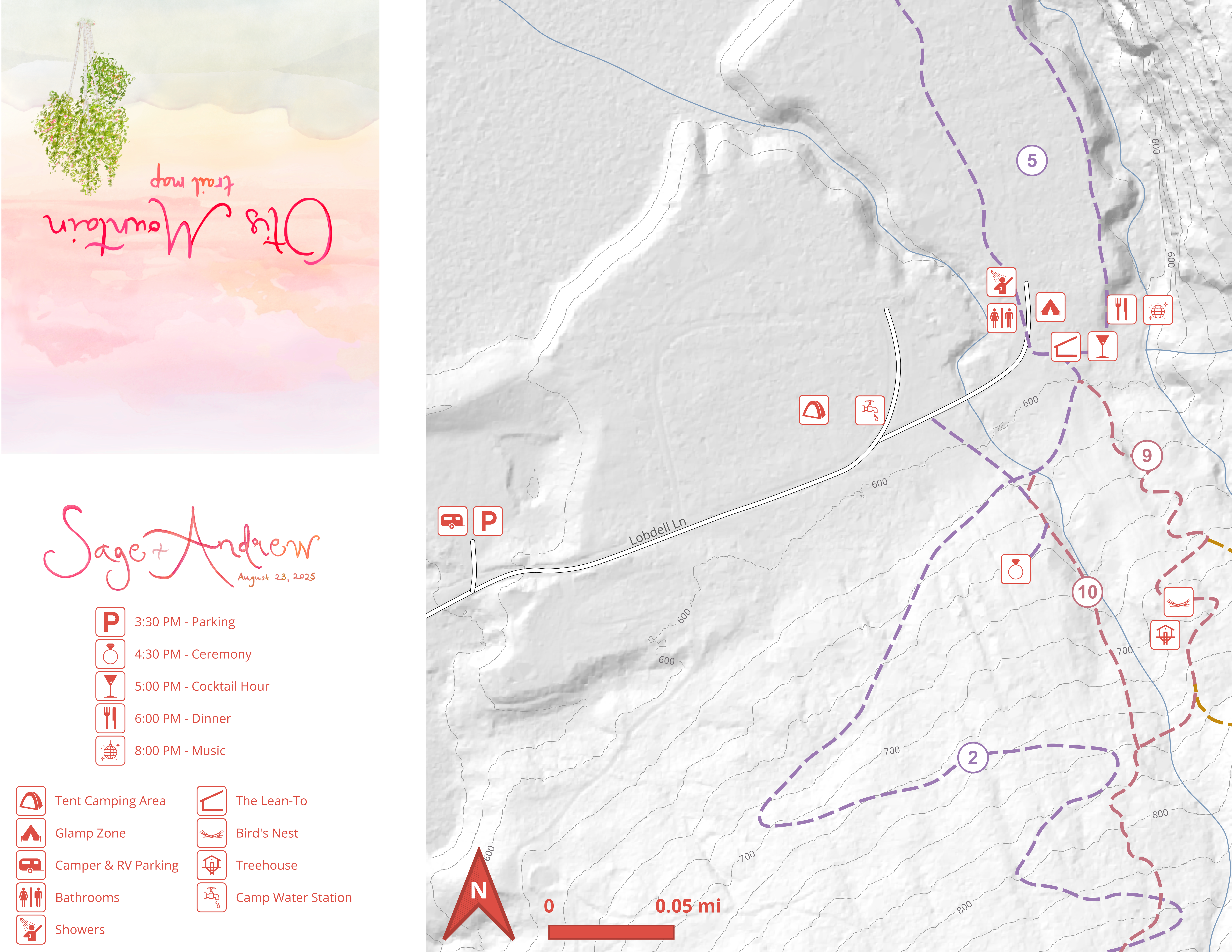
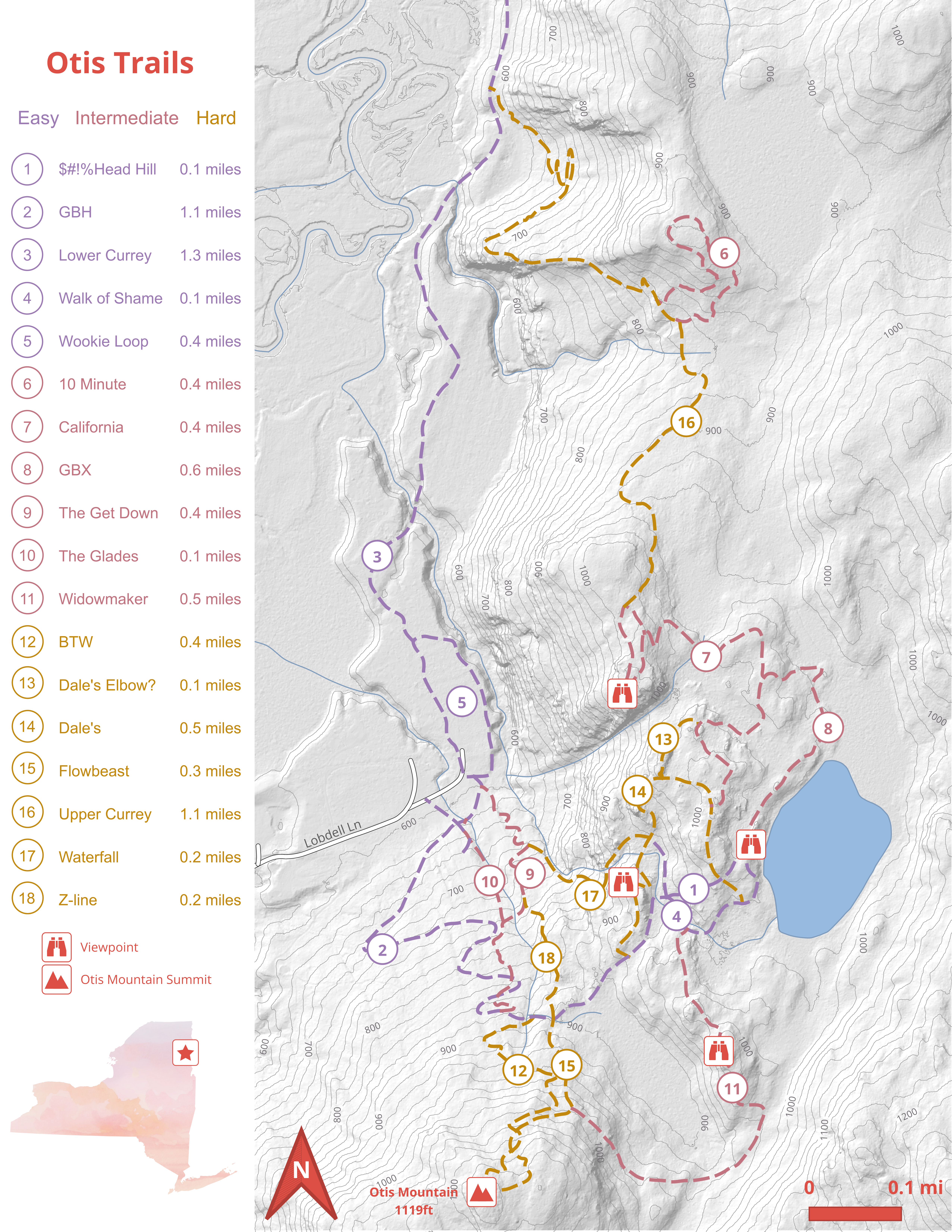
Below are the front and back pages of the printed wedding trail map.
Project Overview
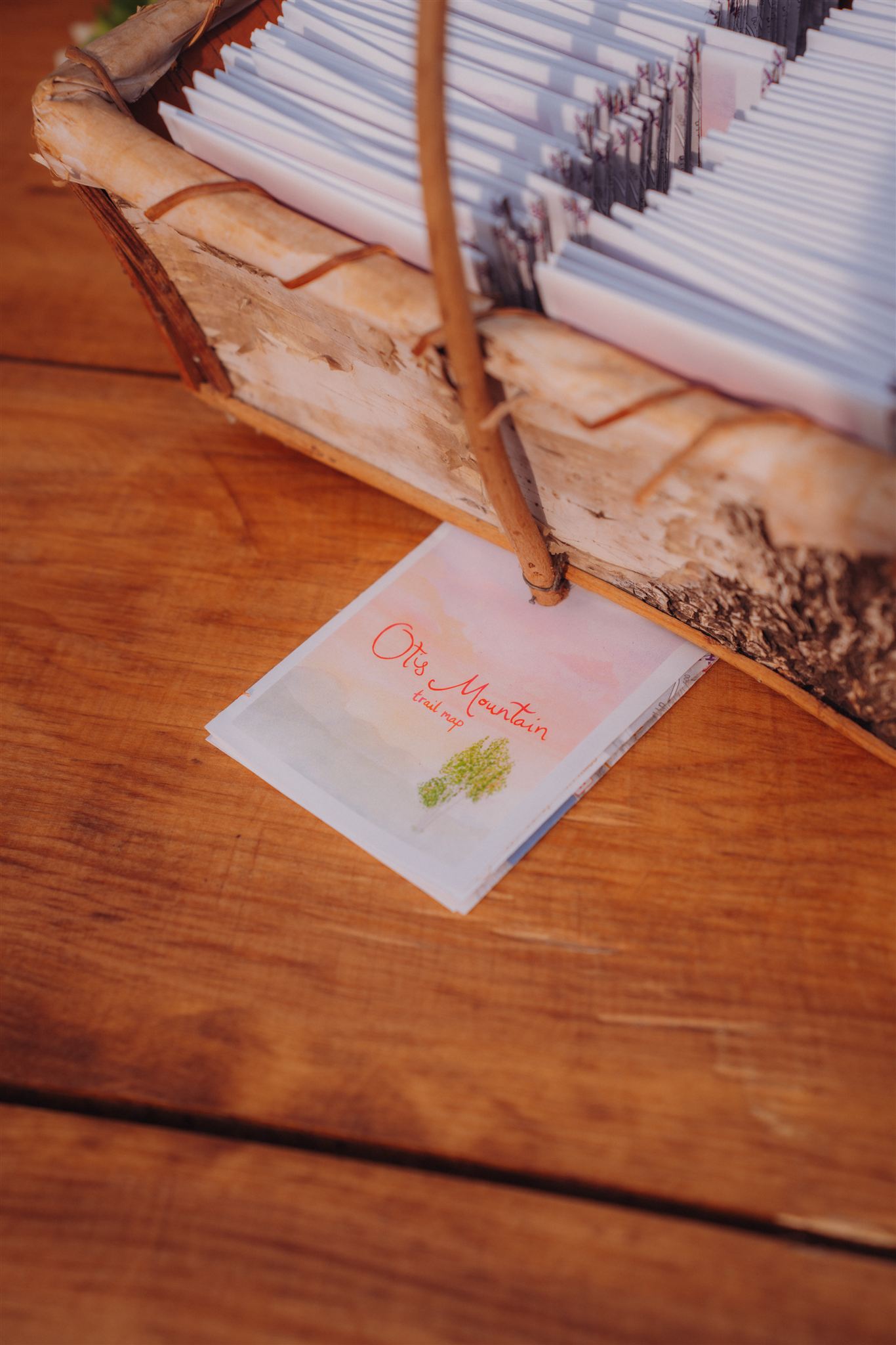
This project was created as a custom wedding gift for my friend Sage, whose wedding was held in August 2025 in the Adirondack Mountains of Upstate New York. The land includes an extensive network of hiking, biking, and ski trails, which made producing a functional and visually appealing navigation map especially valuable for guests unfamiliar with the area.
I designed the map in QGIS. Contours and hillshade were generated from a New York State 1-meter DSM to provide accurate terrain representation, while water features were sourced from the National Hydrography Dataset (NHD). Trail shapefiles and classifications were exported from Trailforks, allowing the final product to show trail difficulty and type.
Custom artwork provided by Sage was incorporated into the layout to create consistent, personalized branding for the event. The final deliverable consisted of two high-resolution, double-sided printed maps on letter-sized paper, folded and distributed to wedding guests to help them navigate the property and enjoy the trails throughout the day’s activities.