Projects
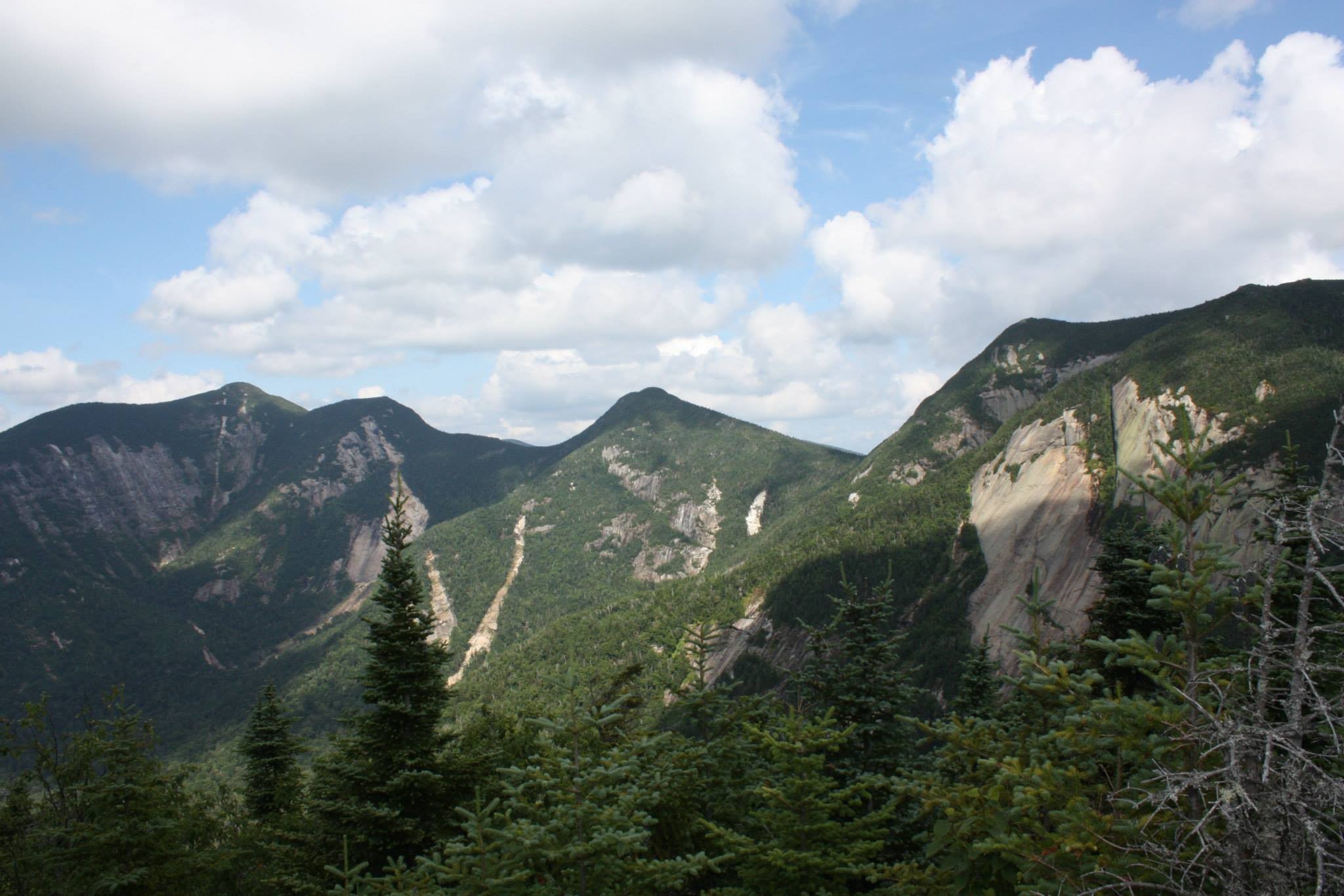
Adirondack Landslide Monitoring with Multispectral Imagery
Ongoing project using embeddings-based land-cover classification, NAIP, Sentinel-2, and terrain data to inventory and monitor landslides in the eastern High Peaks region.
View Project →
Wedding Trail Map – Custom Cartography in QGIS
A custom navigation map created as a wedding gift, featuring trail networks, contours, hydrology, and custom artwork. Designed and produced in QGIS.
View Project →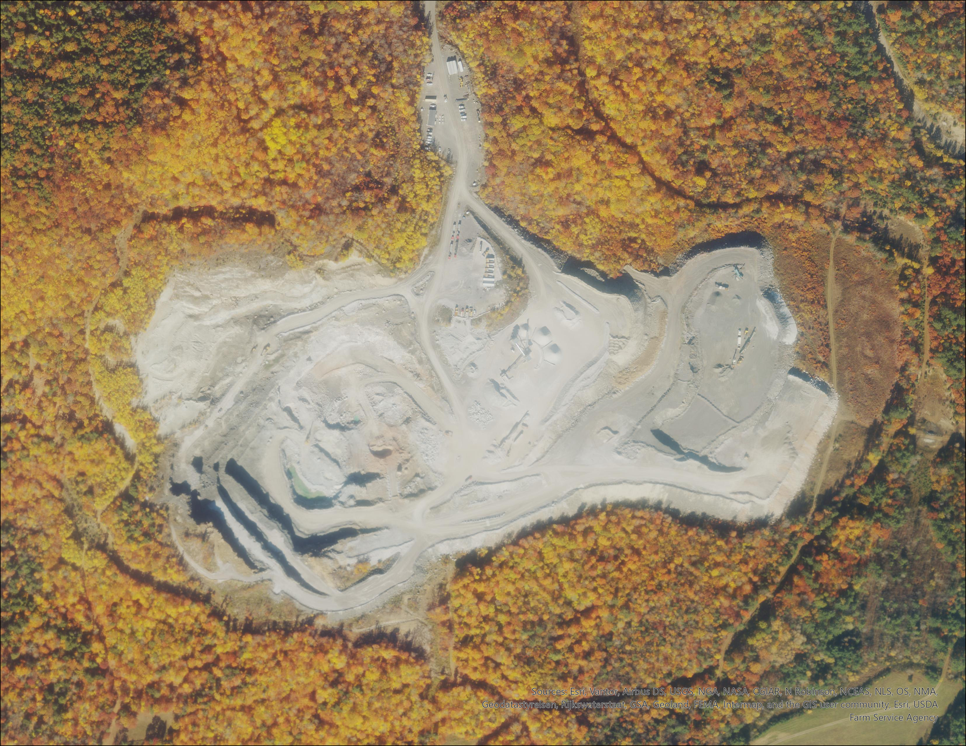
Oak Hill Minimum Elevation Surface Model
A multi-survey elevation model that uses repeated LiDAR and UAV photogrammetry to derive a minimum temporal surface for the Oak Hill pit, supporting mine reconciliation, dilution analysis, and future mine design.
View Project →